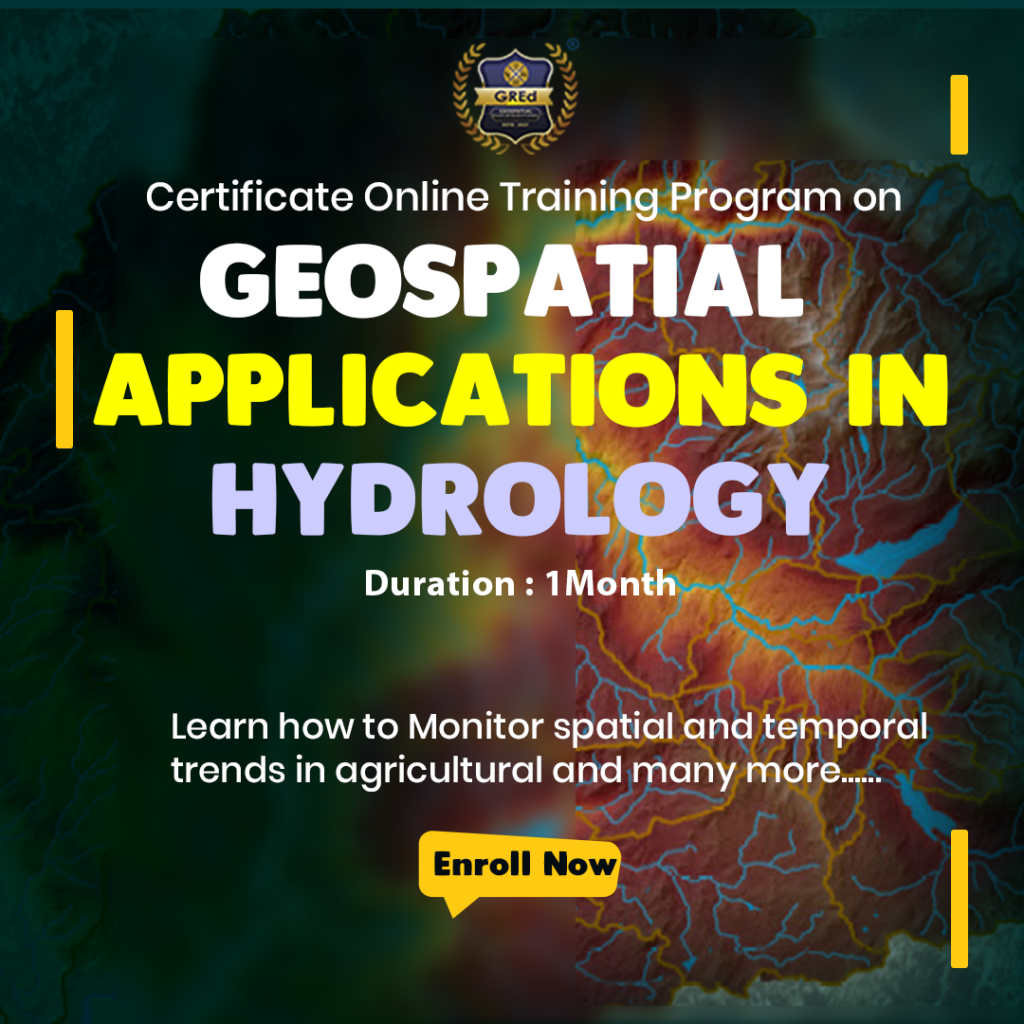
Dive into the Depths of Water:
Are you passionate about water and its secrets? Do you dream of using cutting-edge technology to solve critical hydrological challenges?
Then embark on a transformative journey with our one-month Geospatial Applications in Hydrology program!
This program is for you if you are a scientist, engineer, environmental professional, or student with a strong interest in water and hydrology.
- Delve into Hydrological Modeling: Understand advanced modeling techniques, including rainfall-runoff, groundwater flow, and flood inundation models. Gain the power to forecast water availability, assess flood risks, and optimize water management strategies.
- Navigate the Latest Technologies: Explore drones and LiDAR for high-resolution data acquisition, learn about sensor networks for real-time monitoring, and discover how AI is revolutionizing hydrological analysis.
- Boost your employability: Gain in-demand skills that are highly sought-after by environmental agencies, engineering firms, and water resource consultancies.
Unlock your potential as a geospatial hydrology expert.
Become a champion for sustainable water management.
Invest in your future, invest in water. Start your Geospatial Hydrology journey today!
** Above mentioned modules are subject to change at any moment of the course, depending on the trend of the current GIS market and some other external factors.
